In the center of Tsushima lies the famous peak of Shiratake. Its 519m summit is a gigantic rock in the shape of the letter "M," and it forms a twin peak with Mount Odake and Mount Medake. The huge rocks stretching north and south form a ridgeline, and their mystical beauty has made them a symbol and landmark of Tsushima. The surface is covered with primeval forest, and rain is collected to create the Sumo River, which flows into Aso Bay. Once you make the heart-pounding final 400m climb, you'll be rewarded with a 360-degree panoramic view from the summit, with views of not only the entirety of Tsushima but also the Korean Peninsula.
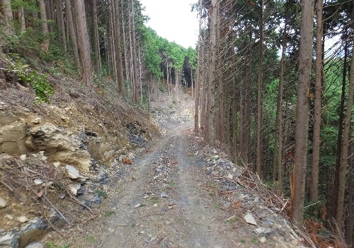
In this mountain forest overlooking Shiratake is the Sumo Base for the International Highway Japan-Korea Tunnel. This is the entrance to the excavation of two inclined shafts, known as Tsushima's "Central Incline Shaft," which connect the Koura Incline Shaft on the east coast and the Aren Incline Shaft on the west coast. It is also planned that in the future, this will become Tsushima's "underground station terminal," serving as a gateway to Japan. Currently, the forest is used to grow and ship cypress trees. The planted cypress trees are 40 years old and ready to be shipped, but due to their thinness, they will have to wait another 15 years. Thinning and maintenance work will be carried out, and a road for work and transportation will be constructed, which was completed in September. This is the first time we've introduced the Sumo Base.
We have already introduced the "Tsushima Office" in Koura in the east, which connects to the tunnel coming from Iki, and the "inclined tunnel entrance" in Aren in the west, which leads to Korea. This "Sumo Base" will make these three locations visible and connect them.
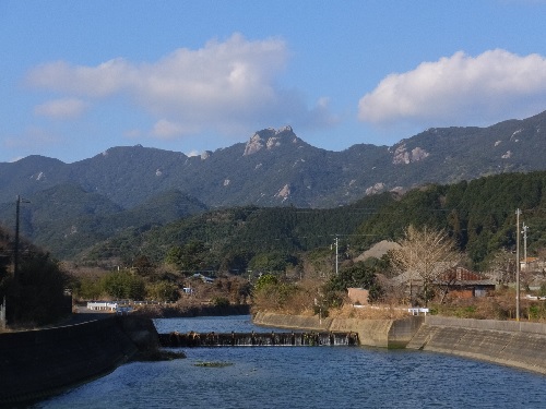
[Photo] Tsushima's landmark, Shiratake (519m), with its summit made up of a huge rock shaped like the letter "M."

[Photo] A new road for work and transportation has been built. The timber cut this time will be used for chips.
[Photo] Tsushima, the rocky island. It takes time for the trees to grow, but the grain is fine.
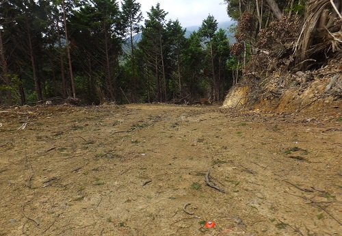
[Photo] The highest point of the newly constructed work road, looking west towards Shiratake
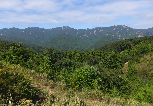
[Photo] Shiratake and the cypress forest at Sumo Base as seen from the forest road

![]()